Gene here,
Yesterday, Judi had a doctor’s appointment. I ran off with the boys (Bill and Herb) for a hike. Both guys are long time friends.
We went to a sector of the Cumberland Trail near Grassy Cove, TN. Herb is considering to be the volunteer maintainer for this 7.8 mile section of the trail.
 |
| Hiking buddies, Herb and Bill |
 |
| The old frame store |
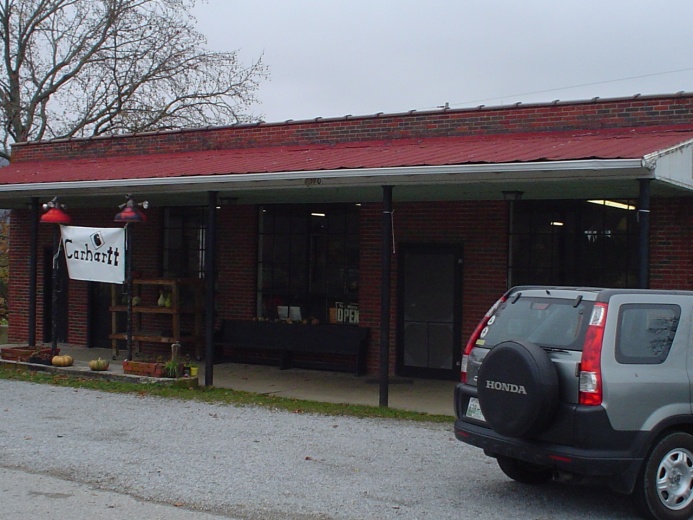 |
| The General Store |

Just up the road was the J.L. Kemmer and Son store. I’d like to know the story of J.L. and J.C. Do the families get together for the holidays?

Grassy Cove is a “hole” in the Cumberland Plateau with an elevation of 1500 feet. The surrounding plateau area is 2000 feet or so. But Grassy Cove is surrounded by mountains that rise above plateau level--Brady Mountain (our hike), Black Mountain, and Bear Den Mountain. The high point of Brady Mountain is 2900 feet. That is quite a bit of relief. (I finally figured out why they call elevation change “relief”. It is because it is such a relief when the trail quits going uphill.)
Grassy Cove was created by streams that can’t get out of the hole. At least not by way of a river that breaks through the surrounding mountains. Instead, the streams draining Grassy Cove go underground into a cave. This is called a “sink”.
The water pops back above ground west of Brady Mountain to form the Sequatchie River.
By the way, I finally did hike. I got far enough to be able to climb all the hill available. It was quite a relief.
No comments:
Post a Comment